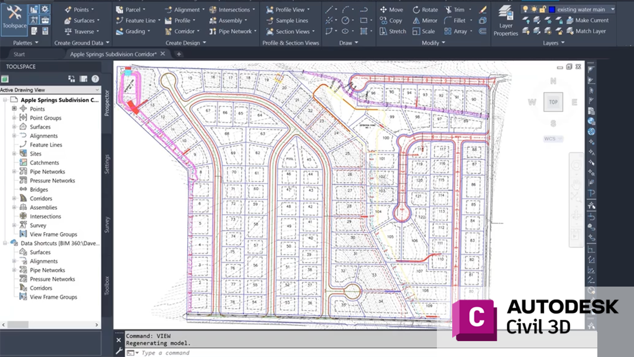
Autodesk Civil 3D is a powerful platform for civil engineering design, but its functionality can be extended significantly through the use of specialized add-ons.
These tools streamline workflows, enhance productivity, and provide advanced capabilities tailored to specific project needs.
Spatial Manager™ is a powerful AutoCAD plug-in for users who need to import, export, transform, and manage spatial data in a simple, fast, and inexpensive way, which includes many functionalities not seen so far in AutoCAD. Free Trial is available.
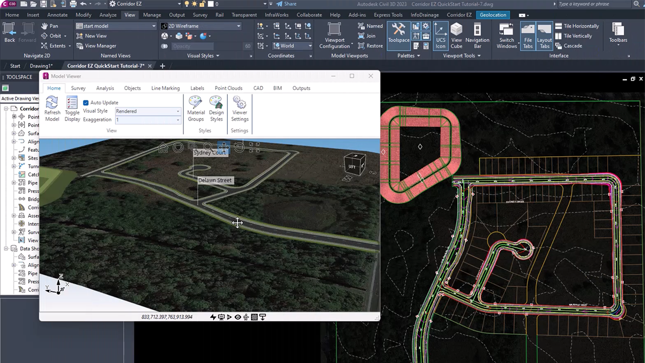
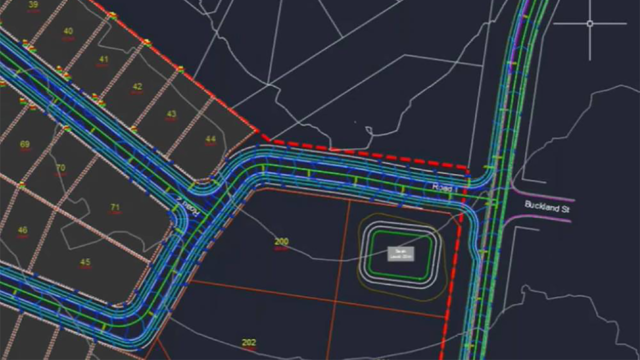
Corridor EZ for Civil 3D is a popular add-on that simplifies corridor and subdivision design. It enhances Civil 3D with advanced corridor modeling, automated grading, and dynamic surface creation. The intuitive interface allows users to produce detailed designs more efficiently while maintaining compatibility with Civil 3D.
This set of productivity tools contains an array of time saving tools for repetitive tasks with Pipe Networks. They provide increased productivity to the following Pipe Network tasks: Swapping Parts, Adjusting Pipe Elevations, Creating and Managing Service Connections, Modifying Part References/ Descriptions/ Styles/ Rules/ Materials, Labeling Pipe Crossings, Labeling Pipe Elevations at any Point Along Pipe, Renaming Parts, Gathering Quantities, Daylighting Pipe at Surface, and more.
CAD-Earth is designed to easily import/export images, objects, terrain meshes, and 3D models between Google Earth™ and Autodesk® AutoCAD®, and create dynamic contour lines and profiles.
You can pick CAD-Earth commands from a toolbar, the screen menu, or the command prompt. Automatic command loading in each AutoCAD session and extensive help in each step.
The Drawing Purge plug-in helps to remove the unused DGN linetypes, textstyles, regapps and annotation scales and so many other items from either the current drawing or multiple drawings in batch processing.
You can download the latest version from the Autodesk Appstore.
This powerful imaging platform brings you the very best satellite and aerial images from a variety of providers, all for a simple, fair, and affordable fee. Plex-Earth automatically imports and aligns updated high-res images from Airbus, Maxar, Nearmap, Hexagon, Google Maps, Bing, OpenStreetMap, USGS, and other WMS providers, right inside your Autodesk Civil 3D projects.
Autodesk® Civil 3D® has the ability to generate various dynamic tables in the drawing. However, this information cannot be extracted to other sources, such as MS Excel, Word, or output file formats (like CSV). Civil Table Tools allows you to simply specify your target and pick the table to output.
PCC - Pipeline Crossings Check is a powerful plugin for Autodesk® Civil 3D® designed to save time and effort in checking pipeline crossings. It can detect both soft and hard clashes during modeling. The plugin offers a user-friendly interface, simplifying the selection of Gravity Network or Pressure Network, and checks for clashes where they intersect. The results are displayed in a table, and clashes can be labeled in the model.
This suite of apps contains a variety of productivity tools that will help save design time during the different design phases of a project while working in Autodesk® Civil 3D®.
GeoRefImg is a LISP utility for Autodesk® Civil 3D which can automatically reposition raster images used in a drawing to the position defined in the images “World files”. World files define geo-position and other parameters of a raster image (TIF, CIT, JPG, PNG, GIF, BMP, ECW, SID...).
This application provides routines to develop stream breaklines from defined cross-sections, alignments, and profiles. The 3Dpolylines are used to define breaklines for the channel surface to create a riffle pool sequence within the design surface.
The inputs are based on reference reach parameters and provide user feedback to allow for design review. The most recent design iteration is stored within the alignment so rapid adjustments and design iterations may be performed for design optimization.
Summary
These add-ons expand Autodesk Civil 3D’s potential, enabling users to tackle complex civil engineering challenges with greater speed and precision.
