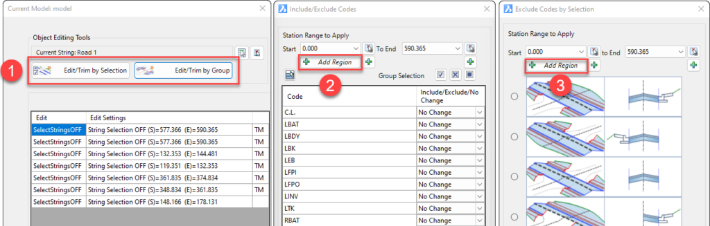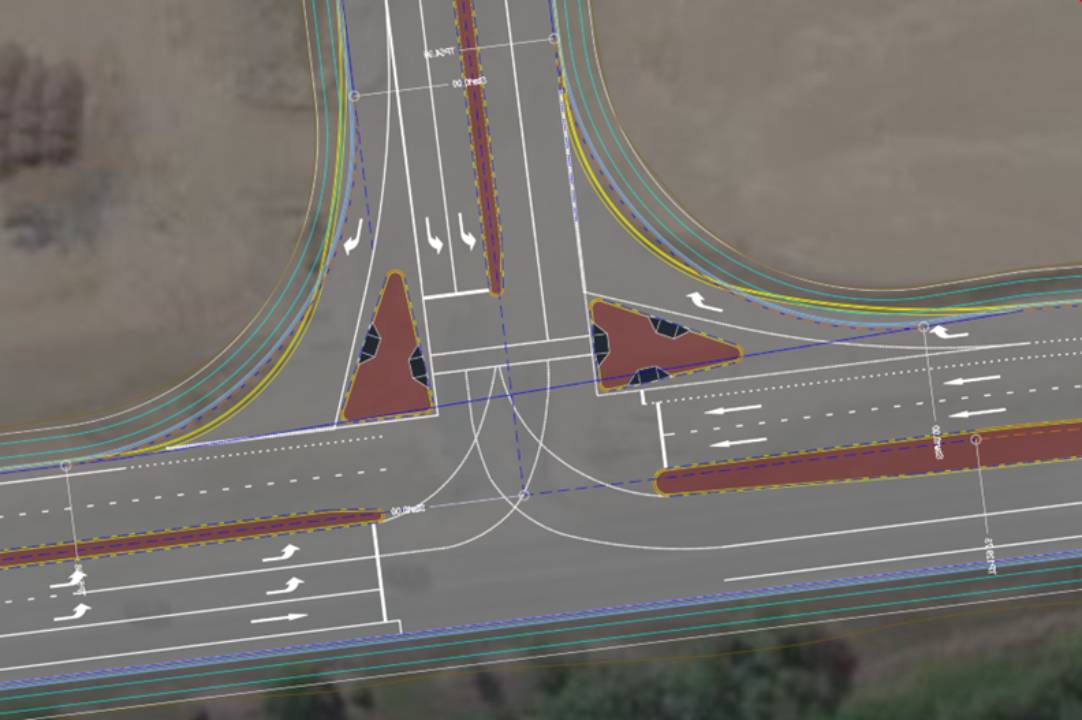
This feature streamlines the process of integrating islands into road models, allowing civil designers to achieve more with less manual intervention.
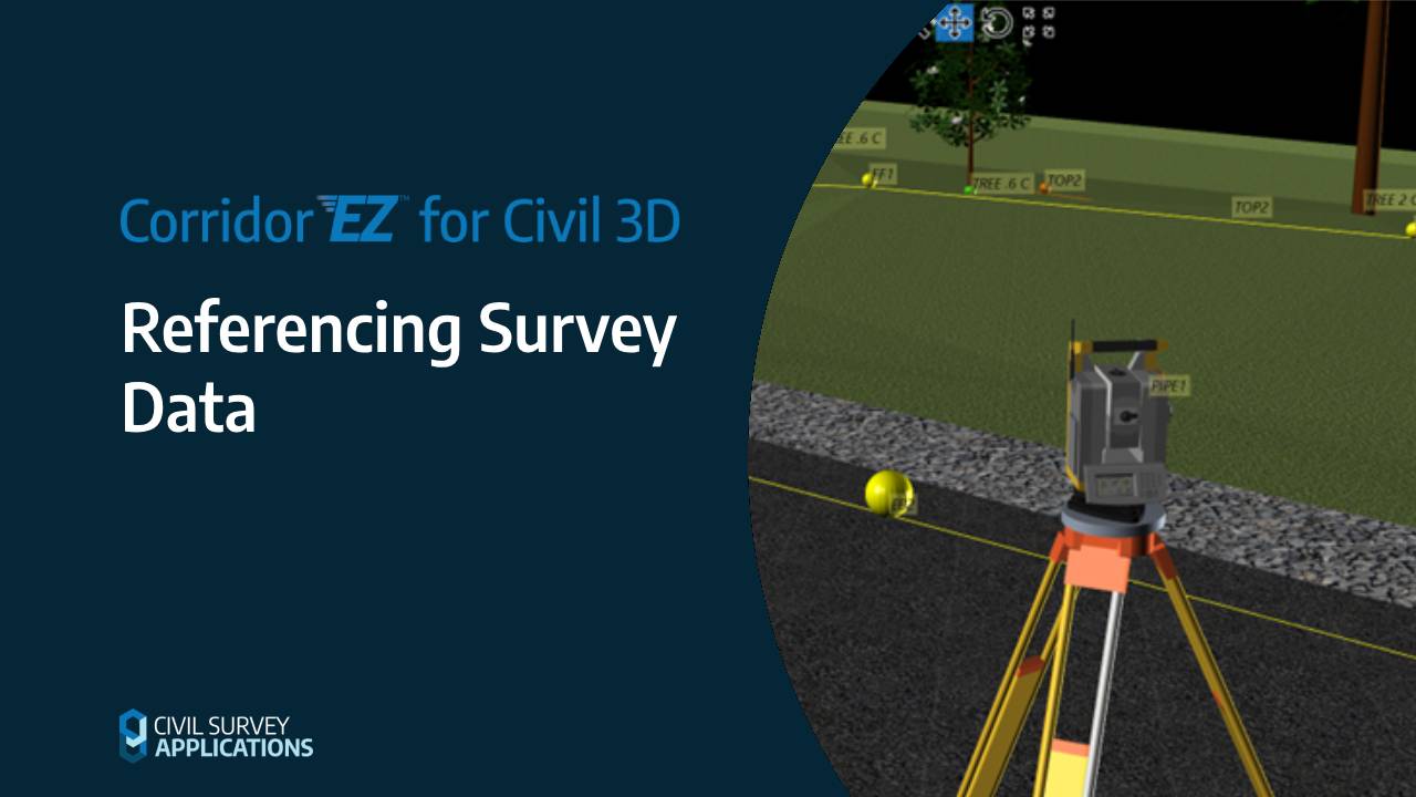
Corridor EZ for Civil 3D significantly enhances the capability of civil designers to display and interpret survey data within their projects.
Civil Survey App News — Innovations, Insights, AlertsCivil Survey Applications2025-05-01T19:50:26-04:00