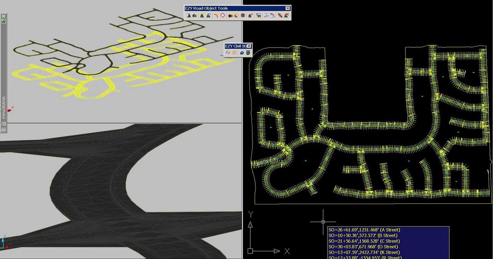
Corridor EZ was launched on the Civil 3D App Store in July 2023. Interestingly, it was first introduced to North America at Autodesk University 2007!
When Angel Espinoza, an Autodesk Civil 3D Guru, tested Corridor EZ in 2007 he wrote in his blog:
“To do 33 intersections along 26 streets in 4 minutes is ama-za-zing stuff. And, imagine what this will do for those involved with preliminary design and visualization, I cannot think of a better tool to do that.
Oh, and I almost forgot the most impressive thing of all. Profiles of crossing streets are linked by the software. If I raise or lower a major road… ALL CROSSING ROAD PROFILES ARE ADJUSTED TO MATCH AUTOMATICALLY! Yes, all crossing road profiles. That includes the curb return profiles. We do not have to go back and adjust them manually. How awesome is that!”

Unfortunately, without any supporting infrastructure in the United States, Corridor EZ did not gain significant traction.
The software continued to be developed, in Australia, as Civil Site Design, and was extended to support both AutoCAD and BricsCAD. It has been marketed and supported in the US by ChasmTech and ChasmTech partners since 2016.
To provide the required infrastructure in the US, ChasmTech principals recommended establishing a formal presence in the United States focused on US issues. To that end:
- All development efforts, worldwide, were consolidated into Civil Survey Applications PTY
- Civil Survey Applications LLC (CSA) was established in 2021 based in Florida
- CSA implemented a formal program to recruit both resellers and Civil 3D consultants to assist with training and deployment assistance
Recognizing that Civil Site Design was overkill for most Civil 3D users, it was decided to reintroduce Corridor EZ.
The objective was to:
- Remove functionality not related to road design
- Add key functionality that was missing in Civil 3D
- To provide learning and deployment resources that would allow experienced Civil 3D users to more than quadruple their productivity while allowing inexperienced users to become Civil 3D productive in days.
What makes Corridor EZ Version 24.1 so special?
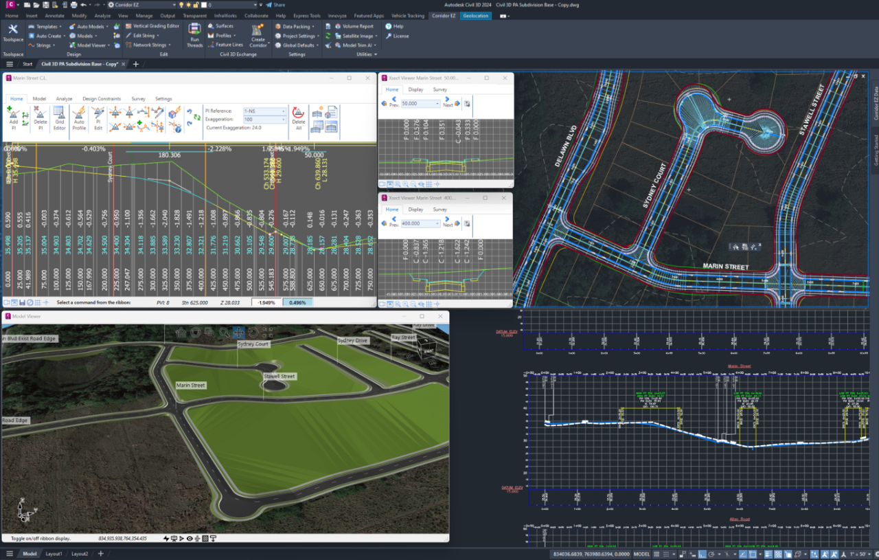
The special features in Corridor EZ, designed to improve Civil 3D productivity, include:
- A customized tool space with a top to bottom workflow
- The introduction of Project Assist, a unique AI tool for road network design
- The vertical grading editor, making it simple to quickly make changes to your vertical designs
- Model viewer a 3D viewer that responds to changes in your design
- One click export of profiles to Civil 3D using your corporate styles
- Bi-directional Interaction between Civil 3D objects and Corridor EZ objects
- Easy output of 3D objects including surfaces, feature lines, profiles and corridors
What do the civil 3D experts say?
“I love the speed and agility of Corridor EZ. Especially in intersections and cul-de-sacs, there is no comparing the speed. It understands what I am trying to accomplish, but still lets me control the details. As a test I used Corridor EZ on a subdivision project. I was able to design three different layout options in a fraction of the time it had taken me to create just one option.”
Russ Nicloy
Civil Solutions Specialist
MACER Technologies, Inc.
Learn more – invest 15 minutes to watch theses getting started videos.


