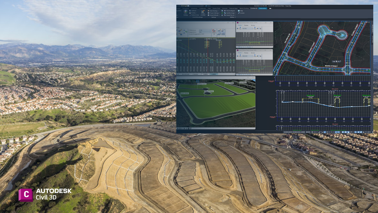
Autodesk Civil 3D is a versatile platform for civil engineering design, and its value significantly increases with the use of extensions tailored for land development and road network design. These extensions offer specialized tools and workflows that enhance efficiency, precision, and adaptability in complex civil projects.

Enhanced Design Capabilities
Civil 3D extensions, such as Autodesk Vehicle Tracking, provide advanced tools for designing and analyzing vehicle paths. These tools are critical in projects involving intersections, roundabouts, and parking lots. By simulating vehicle movements, designers can optimize layouts to meet safety and functional requirements, avoiding costly redesigns.
Streamlined Workflow Integration
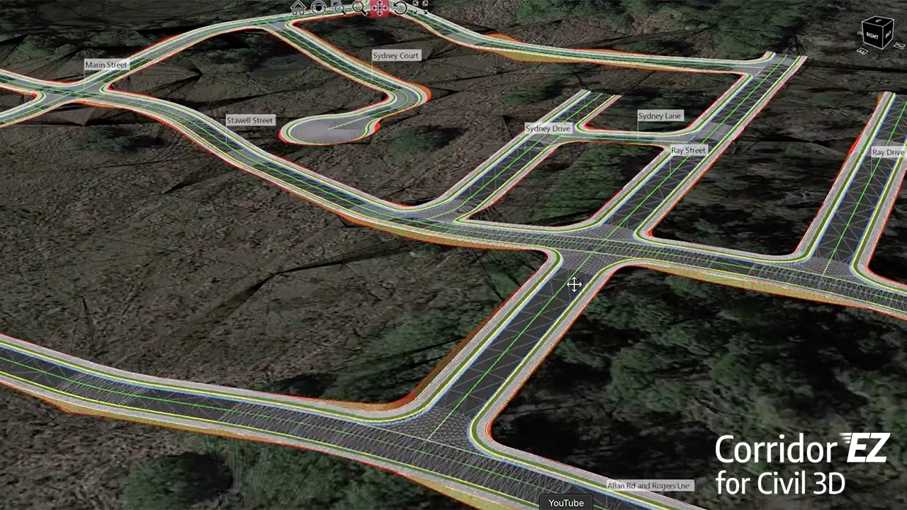
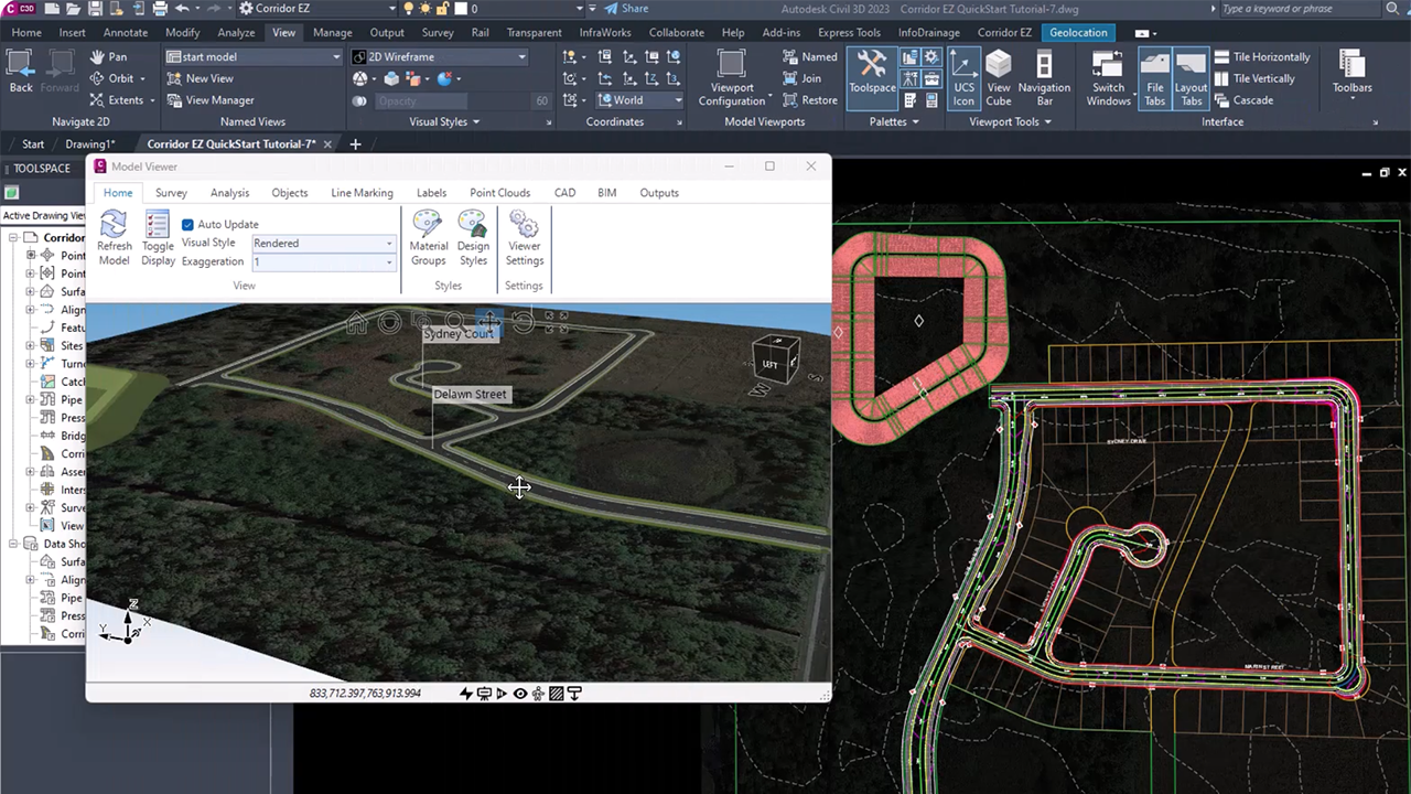
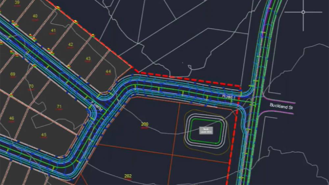
Extensions like Corridor EZ for Civil 3D or Civil Site Design are specifically built to simplify road grading, cross-section creation, and alignment management. These tools automate time-intensive tasks such as corridor modeling, creating dynamic relationships between elements, and ensuring consistency across the project. They integrate seamlessly with Civil 3D, ensuring compatibility and reducing errors when transitioning between design stages.
Improved Analysis and Optimization
For road network projects requiring detailed stormwater or drainage planning, extensions such as Hydraflow or Storm and Sanitary Analysis allow for precise hydraulic and hydrologic modeling. This ensures the road design accommodates environmental factors effectively, avoiding potential issues like flooding.
Visualization and Stakeholder Engagement
Visualization extensions like Civil View for 3ds Max enable designers to produce photorealistic renderings of road networks. This not only aids in stakeholder presentations but also allows teams to identify and resolve design issues early in the process.
Data Integration and Collaboration
GIS-focused extensions enhance Civil 3D’s ability to incorporate geospatial data, ensuring road designs are aligned with real-world conditions. These tools streamline collaboration across multidisciplinary teams by integrating survey, GIS, and engineering data.
Summary
Autodesk Civil 3D extensions significantly elevate the platform’s utility for land development and road network design, empowering engineers to deliver efficient, accurate, and visually compelling projects.


